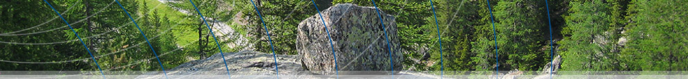
| «The glacier, flowing downwards along a steep slope, dug a glacial basin. It then lost its erosive power and left on site a promontory known as a «glacial threshold».
Studies conducted in the Fifties have shown that the ice depth at the base of the Morteratsch glacier was about 400 meters and a glacial basin had formed above the Boval hut. The glacier of the Poschiavo-Palü system flowed down the steep slope of the «Prù dal Vent» and, at the foot of this slope, eroded a glacial basin: that of Cavaglia.
Having exhausted its speed the glacier then left in place a glacial threshold: that of the Moti da Cavagliola. Once this obstacle had been overcome the ice flow once again increased its speed and very large transversal crevasses were formed above the glacier. Water flowed in large quantities over the frozen surface and then fell into these crevasses, carrying with it stones and debris and reaching the rocky bed of the glacier. |  |
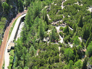
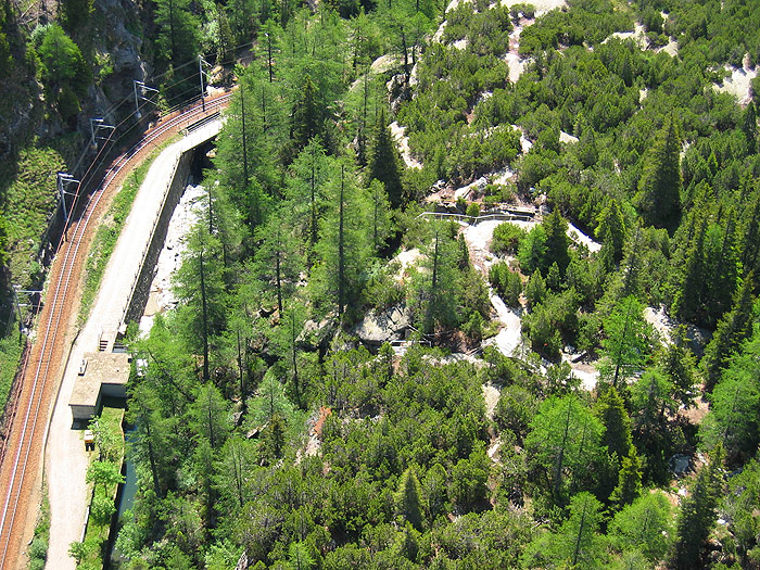
The glacial threshold of Cavaglia, were the rock pots are located, seen from above
 1
| 2 1
| 2 |
|